
Introduction
Geographic Information Systems (GIS) are revolutionizing how engineers and planners analyze spatial data. From mapping cities to managing natural resources, GIS helps convert raw data into actionable insights. For Indian engineering students, mastering GIS can unlock opportunities in urban planning, agriculture, and infrastructure development.
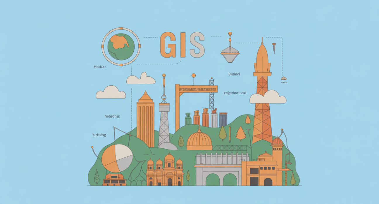
What is GIS?
GIS (Geographic Information System) is a technology that captures, stores, analyzes, and visualizes geographic data. It allows users to link location-based information with maps, enabling smarter decisions in planning, research, and operations.
Snippet-friendly definition: GIS is a digital system for collecting, analyzing, and visualizing geographic data to support informed decision-making in fields like urban planning, agriculture, and transportation.
Why GIS Matters and Who Benefits
GIS is widely used across industries. Key beneficiaries include:
- Urban planners & civil engineers: For infrastructure and city planning.
- Agriculture specialists: Monitoring crop health and irrigation.
- Environmental scientists: Tracking deforestation, pollution, and wildlife habitats.
- Disaster management teams: Predicting floods, earthquakes, and risk zones.
- Government & policy makers: Designing data-driven policies and smart cities.
How GIS Works / Key Features
Data Collection
- Uses satellites, drones, GPS devices, and surveys.
- Collects spatial (location) and attribute (descriptive) data.
Data Storage & Management
- Stores data in layers such as roads, water bodies, and population.
- Uses databases like PostGIS or ArcGIS Geodatabases.
Data Analysis
- Performs spatial analysis: buffer zones, overlay analysis, and proximity searches.
- Helps predict trends, such as traffic congestion or flood-prone areas.
Visualization
- Generates interactive maps and 3D models.
- Customizable dashboards for engineers and decision-makers.
Practical Use Cases & Examples
- Urban Planning in India: GIS maps help Mumbai Municipal Corporation plan road expansions and public transport routes.
- Precision Agriculture: Farmers in Punjab use GIS to optimize fertilizer use and track crop health.
- Disaster Response: Kerala’s flood management authorities use GIS for evacuation planning and relief distribution.
- Renewable Energy: Solar farm developers in Rajasthan map sunlight exposure using GIS tools.
- Environmental Conservation: Forest departments track wildlife corridors and illegal logging activities.
Comparison / Alternatives
| Feature | GIS (ArcGIS/QGIS) | Traditional Mapping | Remote Sensing Alone |
|---|---|---|---|
| Data Types | Spatial + Attribute | Spatial only | Satellite images only |
| Analysis | Advanced & predictive | Basic | Limited analytical power |
| Visualization | Interactive, dynamic | Static maps | Image-based visualization |
| Integration with software | High (CAD, BIM, IoT) | Low | Medium |
| Cost | Moderate–High | Low | Medium–High |
Benefits & Limitations
Pros:
- Enables data-driven decision-making.
- Handles large, complex datasets efficiently.
- Improves resource management and urban planning.
- Supports predictive analysis for risk management.
Cons:
- Requires technical training and software proficiency.
- High initial cost for software and hardware.
- Data accuracy depends on quality of input sources.
Implementation / Adoption Checklist
- Define objectives: Identify specific problems GIS will solve (e.g., traffic management, agriculture monitoring).
- Choose software: Free options like QGIS or commercial like ArcGIS.
- Collect quality data: Use GPS, drones, satellite imagery, or government databases.
- Train personnel: Ensure engineers or planners are GIS-proficient.
- Develop workflows: Standardize data storage, analysis, and visualization processes.
- Regularly update data: Maintain accurate, real-time information for decision-making.
Frequently Asked Questions(FAQs)
Q1: Is GIS only for engineers?
No. GIS benefits urban planners, environmentalists, government officials, and businesses needing location-based insights.
Q2: Can GIS be learned online in India?
Yes. Platforms like Coursera, Udemy, and NPTEL offer beginner-friendly GIS courses tailored for Indian students.
Q3: What industries in India use GIS most?
Urban development, agriculture, disaster management, renewable energy, and environmental conservation are key sectors.
Q4: Is GIS expensive for students?
Free options like QGIS are accessible, while ArcGIS offers student licenses at a low cost.
Q5: How does GIS differ from GPS?
GPS provides location coordinates, while GIS analyzes, visualizes, and interprets that spatial data.
Conclusion
GIS is a transformative tool for Indian engineering students, enabling smart planning, resource management, and risk assessment. Learning GIS equips students with highly sought-after skills in urban development, agriculture, and environmental management. Looking ahead, GIS will play a pivotal role in India’s smart city initiatives and sustainable development projects.
Read more: Top Civil Engineering Projects in India: Inspiration for Beginners
LSI / Semantic Keywords
- Geographic Information System
- Spatial data analysis
- GIS software India
- QGIS vs ArcGIS
- GIS mapping applications
- Urban planning GIS
- Precision agriculture GIS
- GIS data layers