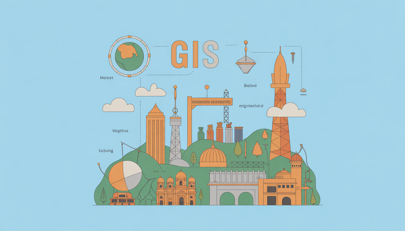

Introduction
Indian cities are growing rapidly, creating challenges in urban planning, infrastructure management, and sustainability. Geographic Information Systems (GIS) are transforming how planners, engineers, and policymakers manage these complex urban ecosystems. From traffic management to environmental monitoring, GIS provides actionable insights that make cities smarter and more livable.
What is GIS?
GIS (Geographic Information System) is a digital tool that captures, stores, analyzes, and visualizes spatial and geographic data. It helps planners map urban layouts, track resources, and make data-driven decisions for efficient city management.
Snippet-ready definition: GIS is a technology that maps and analyzes spatial data, enabling smarter urban planning, resource management, and infrastructure development.
Why GIS Matters in Urban Planning
GIS benefits multiple stakeholders in urban development:
- Urban Planners: Design optimized city layouts and zoning plans.
- Government Authorities: Monitor traffic, pollution, and public utilities.
- Civil Engineers: Plan infrastructure projects with accurate spatial data.
- Smart City Developers: Implement IoT and sustainable solutions efficiently.
- Citizens: Access improved services and better urban mobility.
How GIS Works: Key Features
1. Spatial Data Mapping
GIS collects and visualizes location-based data, including land use, population density, and road networks.
2. Data Integration
Integrates multiple sources: satellite imagery, IoT sensors, surveys, and government records.
3. Analysis & Simulation
Supports predictive modeling, like flood risk mapping, traffic congestion analysis, or utility load forecasting.
4. Real-Time Monitoring
Live dashboards track air quality, water usage, and public transport for immediate decision-making.
Practical Use Cases & Examples
- Traffic Management: GIS maps traffic flow in cities like Bengaluru and Mumbai, helping authorities optimize signals and reduce congestion.
- Smart Water Systems: Delhi uses GIS to detect pipeline leaks and plan water distribution efficiently.
- Urban Growth Planning: GIS predicts population growth trends to allocate land for housing, parks, and industries.
- Disaster Management: Chennai leverages GIS for flood modeling and evacuation planning.
- Energy Management: Smart grids in Pune use GIS to monitor electricity distribution and outages.
Comparison: GIS vs. Traditional Urban Planning
| Feature | Traditional Planning | GIS-Enabled Planning |
|---|---|---|
| Data Accuracy | Manual surveys, often outdated | Real-time, satellite & sensor data |
| Decision Speed | Slow, paper-based | Fast, automated insights |
| Visualization | 2D maps & sketches | Interactive 3D & heatmaps |
| Predictive Modeling | Limited | Advanced simulations |
| Public Engagement | Low | High, with citizen feedback apps |
Benefits & Limitations
Pros:
- Accurate, data-driven decisions
- Enhanced infrastructure planning
- Real-time monitoring for emergencies
- Facilitates sustainable development
- Promotes citizen engagement
Cons:
- High initial investment for software and training
- Requires skilled personnel
- Data privacy and security concerns
- Integration challenges with legacy systems
Implementation / Adoption Checklist
- Define Objectives: Identify city planning problems GIS can solve.
- Select GIS Platform: Options include ArcGIS, QGIS, MapInfo.
- Data Collection: Use satellite, drone, survey, and IoT sensor data.
- Team Training: Train planners, engineers, and IT staff.
- Pilot Projects: Start small with traffic, utilities, or disaster management.
- Evaluate & Scale: Use analytics to optimize and expand GIS deployment.
Read more: Introduction to Remote Sensing and Drone Imaging in India
Frequently Asked Questions(FAQs)
Q1: How is GIS used in Indian smart cities?
GIS supports traffic management, water distribution, waste monitoring, and emergency response, making Indian smart cities data-driven and efficient.
Q2: Which GIS software is popular in India?
ArcGIS, QGIS, MapInfo, and GRASS GIS are widely used by urban planners, government bodies, and engineering firms.
Q3: Can small towns benefit from GIS?
Yes, GIS is scalable; even smaller municipalities can optimize utilities, monitor growth, and plan infrastructure with affordable solutions.
Q4: How much does GIS implementation cost in India?
Costs vary by project size and software choice, ranging from ₹5 lakh for small pilots to ₹1–2 crore for city-wide deployment as of 2025.
Q5: Is GIS only for urban planning?
No, GIS is versatile, supporting agriculture, disaster management, environmental monitoring, and transportation logistics.
Conclusion
GIS is revolutionizing urban planning in India by enabling smarter cities, optimized infrastructure, and sustainable growth. Planners, engineers, and policymakers should adopt GIS tools to make data-driven decisions, improve citizen services, and prepare for future urban challenges. Future outlook: As IoT, AI, and 5G expand, GIS will become even more integral to India’s smart city initiatives.