
Introduction
Geospatial technology is transforming engineering workflows in India. From urban planning to infrastructure projects, engineers increasingly rely on GIS software and tools to analyze, visualize, and manage spatial data efficiently. Choosing the right GIS solution can save time, reduce errors, and improve decision-making.
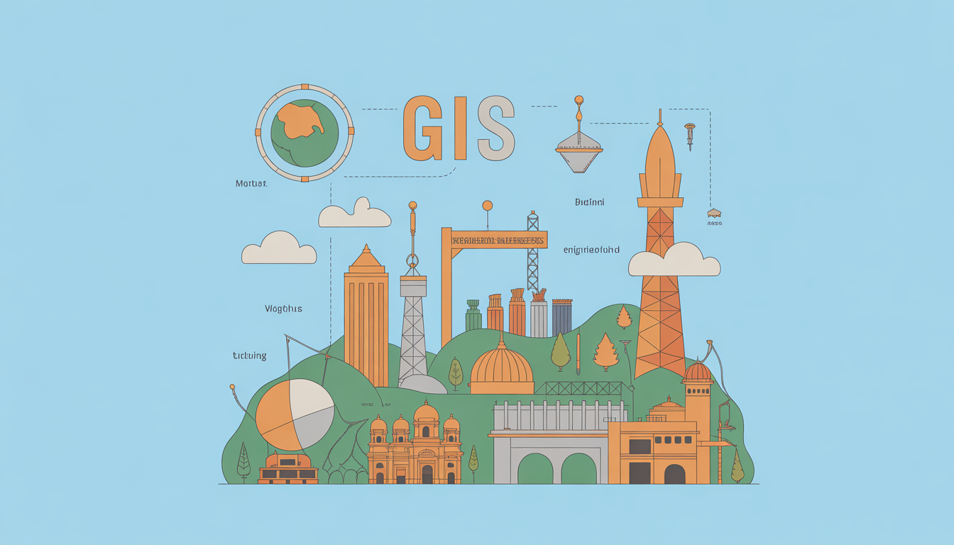
What is GIS Software and Tools?
GIS (Geographic Information System) software enables engineers to capture, store, manipulate, analyze, and visualize geographic and spatial data. These tools help transform raw location data into actionable insights for projects like city planning, environmental assessment, and asset management.
Why GIS Software Matters / Who Benefits
- Civil Engineers: Plan roads, bridges, and urban infrastructure with accurate spatial data.
- Environmental Engineers: Monitor land use, water resources, and pollution levels.
- Urban Planners: Design sustainable cities using zoning and population data.
- Utility Companies: Manage pipelines, electricity grids, and telecom networks.
- Surveyors & GIS Professionals: Analyze topography, land parcels, and property boundaries efficiently.
How GIS Software Works / Key Features
1. Data Collection & Import
Engineers can import maps, satellite imagery, and survey data from GPS devices or drones. Most tools support formats like Shapefile, GeoJSON, KML, and CSV.
2. Spatial Analysis & Modeling
Advanced GIS software allows buffering, overlay analysis, and network modeling to evaluate project feasibility or predict environmental impacts.
3. Visualization & Mapping
Interactive maps, 3D models, and heatmaps help engineers interpret data quickly and present insights to stakeholders.
4. Integration & Automation
Many GIS tools integrate with CAD software, cloud databases, and IoT sensors, streamlining workflows and enabling automated updates for real-time monitoring.
Practical Use Cases & Examples
- Urban Planning: Map traffic congestion zones in Bangalore to optimize road networks.
- Flood Risk Assessment: Analyze rainfall and river data to predict flood-prone areas in Kerala.
- Telecom Network Management: Plan cell tower placement for better coverage across Indian cities.
- Infrastructure Monitoring: Track construction progress and maintenance needs for highways in Maharashtra.
Comparison / Alternatives
| GIS Software | Key Features | Pricing (India) | Best For |
|---|---|---|---|
| ArcGIS Pro | Advanced mapping, 3D modeling, spatial analysis | ₹1,50,000+/year | Professional engineers, large projects |
| QGIS | Open-source, customizable, plugin support | Free | Beginners, cost-conscious engineers |
| MapInfo Pro | Business analytics, geospatial visualization | ₹1,20,000+/year | Urban planners, surveyors |
| Google Earth Engine | Satellite imagery, environmental analysis | Free / Paid API | Environmental projects, research |
| AutoCAD Map 3D | CAD + GIS integration, infrastructure design | ₹1,00,000+/year | Civil & infrastructure engineers |
Benefits & Limitations
Pros:
- Accurate spatial data analysis for better project decisions.
- Visualization tools simplify complex datasets.
- Integration with CAD, IoT, and cloud services enhances efficiency.
- Open-source options reduce costs for beginners.
Cons:
- High-end software can be expensive.
- Steep learning curve for advanced analysis.
- Requires quality data for reliable results.
- Some tools demand strong hardware specifications.
Implementation / Buying Checklist
- Assess Project Needs: Determine whether 2D mapping, 3D modeling, or spatial analytics is required.
- Budget Evaluation: Compare open-source (QGIS) vs paid solutions (ArcGIS, MapInfo).
- Data Sources: Ensure compatibility with GPS, satellite, survey, and IoT datasets.
- Skill Level: Consider training requirements for teams.
- Integration Needs: Check compatibility with CAD, BIM, or cloud platforms.
- Trial & Pilot: Use demo versions to evaluate features and performance before purchase.
Frequently Asked Questions(FAQs)
1. Which GIS software is best for beginners in India?
QGIS is ideal for beginners due to its open-source nature, easy customization, and wide community support, making it cost-effective for students and small firms.
2. Can GIS software integrate with AutoCAD?
Yes, tools like ArcGIS and AutoCAD Map 3D allow seamless integration for infrastructure planning, combining spatial analysis with design capabilities.
3. Is GIS software expensive in India?
Professional GIS solutions range from ₹1,00,000–₹1,50,000 per year, but free options like QGIS and Google Earth Engine are suitable for many projects.
4. How does GIS help urban planning?
GIS enables city planners to analyze population density, traffic, and land use patterns, helping design sustainable, efficient urban infrastructure.
5. Can engineers use GIS for environmental monitoring?
Absolutely. Engineers use GIS to track water quality, deforestation, flood risks, and pollution, aiding decision-making and compliance with regulations.
Conclusion
For engineers in India, GIS software is an indispensable tool for modern project planning, environmental monitoring, and infrastructure management. Beginners can start with QGIS, while professionals may prefer ArcGIS Pro for advanced analysis. As technology evolves, GIS will increasingly integrate with AI, IoT, and real-time analytics, making spatial decision-making faster and smarter.
Read more: Sustainable Engineering in India: Techniques for Eco-Friendly Infrastructure
LSI / Semantic Keywords
- Geospatial analysis
- Mapping software
- Urban planning tools
- Environmental GIS
- Satellite imagery software
- Spatial data management
- Infrastructure GIS solutions