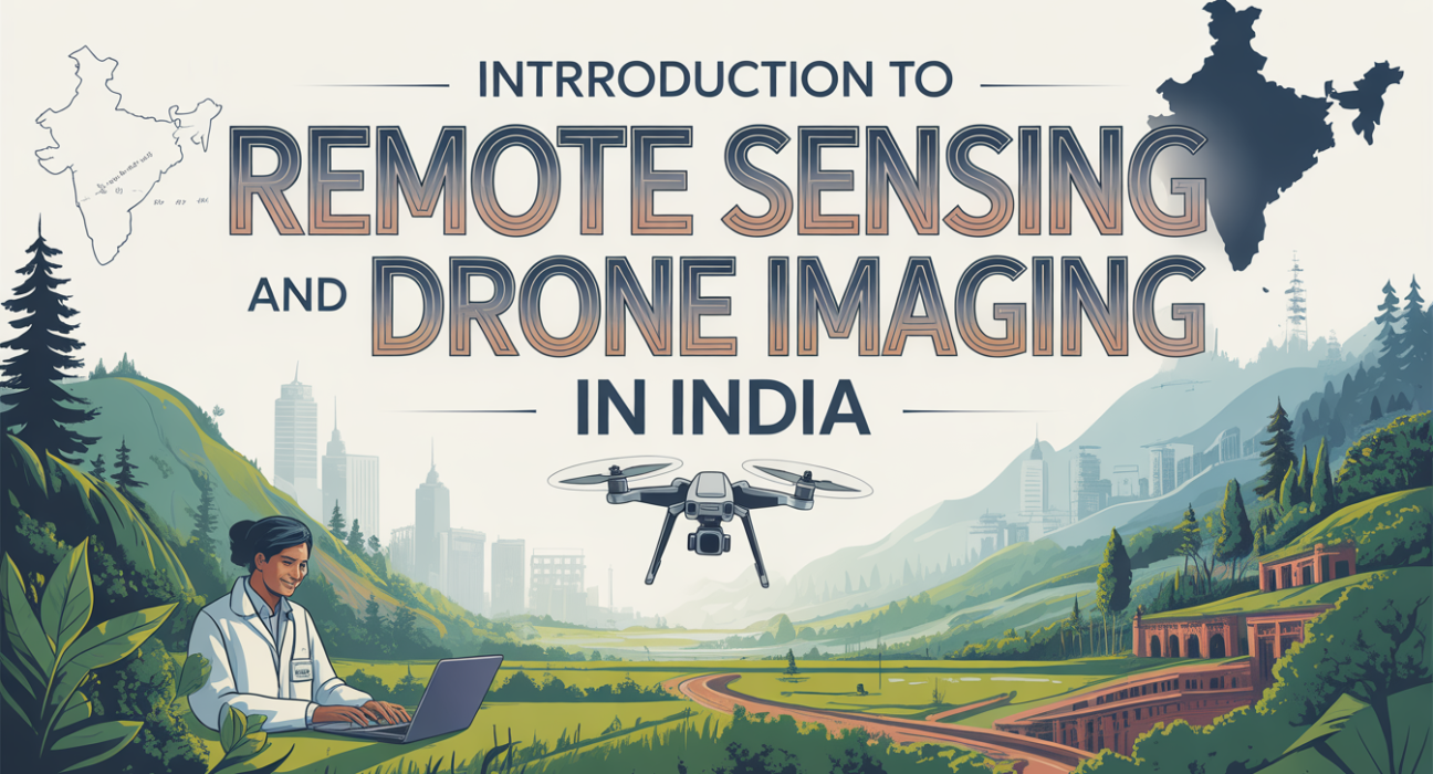
Introduction
Remote sensing and drone imaging are transforming how India monitors its land, resources, and infrastructure. From agriculture to urban planning, these technologies provide high-resolution, real-time insights, reducing costs and enhancing decision-making. For tech buyers, developers, and innovators, understanding these tools is crucial for staying competitive in India’s growing tech ecosystem.
What is Remote Sensing and Drone Imaging?
Remote sensing involves collecting data about objects or landscapes without physical contact, usually via satellites or aircraft. Drone imaging specifically uses unmanned aerial vehicles (UAVs) equipped with cameras or sensors to capture precise images or data over targeted areas. Together, they provide actionable insights for planning, monitoring, and analysis.
Why it Matters / Who Benefits
- Government agencies: Land surveying, disaster management, urban planning.
- Agriculture sector: Crop health monitoring, yield prediction, precision farming.
- Construction & infrastructure: Project tracking, site inspections, progress reporting.
- Environmental organizations: Deforestation monitoring, wildlife tracking, climate studies.
- Businesses & startups: Logistics, mapping, and data analytics applications.
How it Works / Key Features
H3: Remote Sensing Technology
- Satellites: Capture multispectral or hyperspectral images from orbit.
- Sensors: Detect light, heat, or radio signals to measure environmental parameters.
- Data processing: Algorithms convert raw data into usable maps, charts, or reports.
H3: Drone Imaging Process
- Flight planning: Define flight path and altitude using software.
- Data capture: UAVs equipped with high-res cameras or LiDAR sensors collect images.
- Post-processing: Images stitched and analyzed for patterns, measurements, or anomalies.
H3: Key Features
- Real-time monitoring
- High-resolution imaging (cm-level accuracy with modern drones)
- Multi-spectral analysis for agriculture or environmental studies
- Automated data collection and reporting
Practical Use Cases & Examples
- Precision Agriculture: Farmers in Maharashtra use drones to detect pest infestations early, improving yields by up to 15%.
- Urban Planning: Bengaluru city planners map traffic patterns and land use with drone imagery for better zoning decisions.
- Disaster Management: After floods in Kerala, drones quickly surveyed affected areas, enabling faster relief operations.
- Construction Monitoring: Developers track project progress in real-time, reducing manual inspection costs.
Comparison / Alternatives
| Feature/Tool | Remote Sensing (Satellite) | Drone Imaging (UAV) |
|---|---|---|
| Resolution | Medium to high | Very high (cm-level) |
| Cost | High initial, low per use | Moderate, scalable |
| Coverage | Large regions | Localized areas |
| Real-time updates | Limited | Yes, instant |
| Ideal Use | Environmental, mapping | Agriculture, construction |
Benefits & Limitations
Pros:
- Provides accurate, high-resolution data
- Enables cost-effective monitoring
- Reduces manual inspections
- Scalable for small and large projects
Cons:
- Initial investment can be high
- Requires technical expertise for data processing
- Weather conditions may affect drone operations
- Satellite imagery may have delays or lower resolution
Implementation / Buying / Adoption Checklist
- Define your purpose: Agriculture, infrastructure, or environmental monitoring.
- Select appropriate tools: Drones for localized imaging, satellites for regional analysis.
- Check legal compliance: DGCA drone rules and permissions in India.
- Train staff or hire experts: For UAV operation and image analysis.
- Set up data workflow: Collect, process, and visualize data efficiently.
- Monitor ROI: Track cost savings, improved decision-making, or yield gains.
Read more: Career Paths in Civil Engineering: Opportunities and Trends in India
Frequently Asked Questions(FAQs)
Q1: What is the cost of drone imaging in India?
Costs vary depending on drone type, sensor quality, and area coverage. Small UAV services start around ₹50,000 per project, while advanced LiDAR drones may cost ₹10–20 lakh.
Q2: Can beginners use drone imaging without prior experience?
Yes, entry-level drones come with easy-to-use apps for automated flights. Professional guidance is recommended for large-scale or industrial applications.
Q3: How accurate is remote sensing compared to traditional surveying?
Remote sensing offers centimeter-level accuracy with modern UAVs, often surpassing manual surveys in speed and coverage.
Q4: Are drones legal in India?
Yes, drones are legal but must follow DGCA regulations, including registration, flight permissions, and operational guidelines.
Q5: Which industries benefit most from remote sensing in India?
Agriculture, urban planning, construction, environmental monitoring, and disaster management are primary beneficiaries.
Conclusion
Remote sensing and drone imaging are revolutionizing data collection in India, offering high-resolution insights at lower costs and faster speeds. For beginners and tech professionals, adopting these technologies opens doors to smarter decision-making, better resource management, and innovative solutions. As UAV technology advances, India is poised to lead in drone-powered applications across sectors.